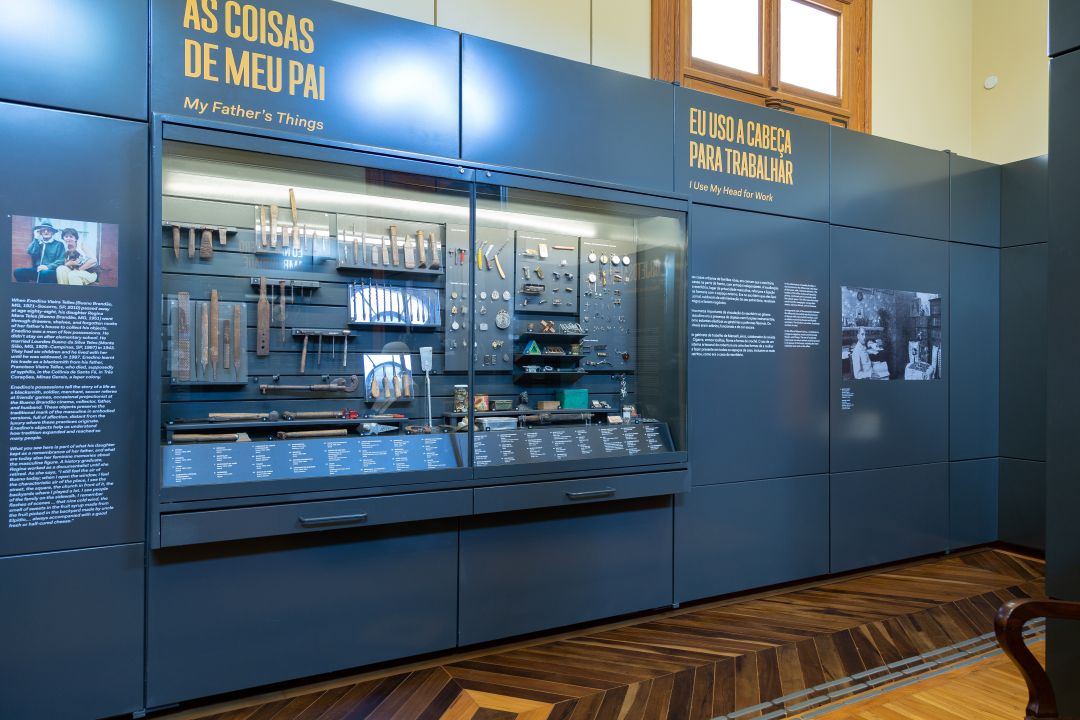

In-person course
Dates: March 25th to June 10th (Tuesdays)
Time: 8:30 AM to 12:30 PM
Location: Auditorium of the Ipiranga Museum
Workload: 48h
Certificate: Issued to participants with at least 75% attendance.
Registration fee: R$ 50.00 (payment via bank slip)
Exemption: Public school teachers and USP graduate students can request free tuition until March 17th by sending an email with proof of affiliation to apoioacadmp@usp.br.
Job openings: 200
Registration: From February 24th to March 19th, in link. [EXTENDED]
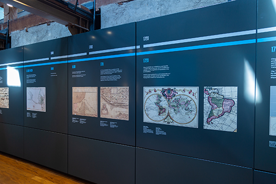
Maps tell stories. Texts describe territories. When combined, they reveal routes, boundaries, and transformations that helped shape Brazil. (Extension course) Maps and texts in the construction of History It explores this relationship between cartographic records and written sources, allowing for a deeper understanding of territorial occupation and division throughout the centuries.
Using concrete research examples, the classes cover topics ranging from coastal navigation and hereditary captaincies to incursions into the interior and the occupation of the Amazon. Historical maps, travel itineraries, and documentary accounts are used to reconstruct the paths that shaped the country. After all, texts without maps are blind, and maps without texts are mute.
Taught by Jorge Pimentel Cintra, the course is aimed at university graduates and offers an immersive experience at the intersection of history, geography, and material culture.
PROGRAM
Block A
- Toponymy and occupation of the Brazilian coast: maps and itineraries
- Comparison of the Descriptive Treatise of Brazil with maps of the time, in particular the Route of all signs.
- The Hereditary Captaincies in the genesis of the boundaries of the current Brazilian states.
- The maps of Luís Teixeira and Bartolomeu Velho and the land grant charters of the Captaincies, in the delimitation of the territory. Overview of the formation of state territories, particularly that of Rio de Janeiro.
- A reconstruction of Manuel Preto's attacks on the missions in Guairá.
- A historical fact that illustrates the penetration into the interior. The map of Céspedes Xeria, the map from the Government of São Paulo, and the documents from the Archives of the Indies. The presence of Tupi in place names.
- Exploration and occupation of the Amazon
- Explorers, travel itineraries, and old maps of the Amazon, up to 1750. Missions and villages.
- Cartography, texts and images of Dutch Brazil
- Dutch Brazil: MarcGrave's maps, Franz Prost's illuminations, and the first accounts: O Castrioto Lusitano and O valeroso Lucideno.
- Accounts and maps of the monsoons and the occupation of the western region of Brazil.
- The river routes to Cuiabá and their extension to Vila Bela and Mato Grosso. The land routes. The cartography of these routes.
Block B
- Methodologies for determining detailed paths: from São Paulo to Itu.
- Combining travelers' accounts and old maps to reconstruct the routes of ancient paths. Peabiru: what is known and what is imagined. The ancient and modern paths of Itu.
- The roads from São Paulo to Santos, accounts of Independence, and the journey of Dom Pedro.
- To illustrate with this concrete example the interaction between ancient maps and historical accounts in determining this layout.
- The roads and maps of Minas Gerais. The Fernão Dias route.
- Working with original documents: the beginnings of the penetration of what is now the territory of Minas Gerais. Exploration of the territory by Fernão Dias: the establishment of settlements and the roads from São Paulo to Minas.
- History, oral tradition, legend and romance: a study on Pedro Taques
- Comparison of Pedro Taques' writings with earlier manuscript sources (AHU and others) and writings by later authors: Azevedo Marques, Carvalho Franco, and Taunay. Creation of novels, films, and epic poems. Selecting two characters as examples: Pedro Leme, the Crooked, and Fernão Dias.
- Reconstructing the boundaries of land grants, municipalities, states, and countries, based on descriptions.
- Attempts to reconstruct the boundaries of land grants, common lands, and municipalities. Issues of state and national borders.
- Maps and texts in determining the location of historical events.
- Based on the research that determined the location of the proclamation of Brazil's Independence, this study analyzes the map and text search heuristics that allowed this determination, with the help of digital cartography programs.